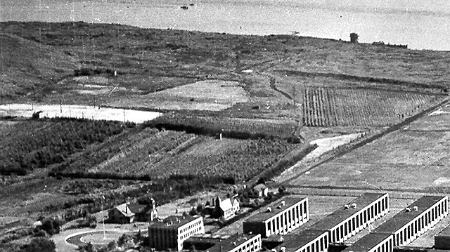
 The fourth 1948 Rikers virtual tour close-up is immediately below the first section and shows more of the cultivated farm and tree nursery acerage. It also shows the penitentiary, the flag pole and traffic circle in front of the penitentiary entrance, the two chapels for resident clergy, and the main roadway sometimes referred to as an extension of East 134th, the Bronx. Note that Hazen Street became the name for the island's main roadway after it was linked via the bridge to Hazen Street, Queens. Although the island is part of the Bronx geographically, it's part of Queens postally. Veteran current and former NYC DOC staffers and others who can correct, refine, enhance and increase the information in the close-up image caption above are invited to do so. Include the close-up's virtual tour image number in your e-mail to the webmaster@correctionhistory.org |
4th of 14 detail views of 1948 Rikers Island aerial photo
To NYCHS home page |